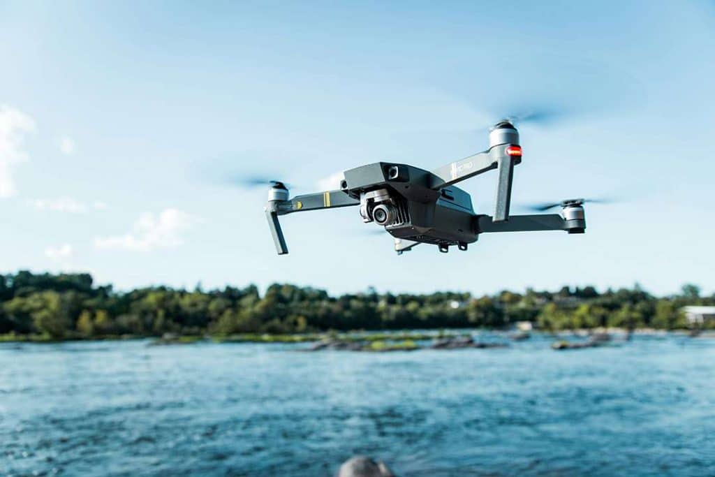
In recent years, أجهزة استشعار المسافة بالليزر in UAV (Unmanned Aerial Vehicles) have become essential tools for precise measurements and efficient data collection. These sensors enable UAVs to perform tasks that require high accuracy, like terrain mapping, crop monitoring, and تجنب العوائق. The integration of مسافة الليزر sensors in UAVs is transforming industries such as agriculture, المسح, and environmental monitoring, offering more reliable and accurate results than traditional systems.
Laser distance sensors work by emitting a laser beam, which reflects off surfaces and returns to the sensor. By calculating the time it takes for the beam to return, the sensor can determine the distance with incredible precision, often down to millimeters. This capability is crucial for UAVs, which rely on real-time data to navigate complex environments and perform advanced measurements.
 ليدار التكنولوجيا
Key Applications of Laser Distance Sensors in UAVs
1. Terrain Mapping & 3D Modeling
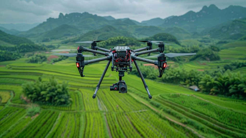
One of the most common applications of laser distance sensors in UAVs is terrain mapping and 3D modeling. UAVs equipped with laser distance sensors can generate high-resolution رقمي Elevation Models (DEMs) and 3D point clouds. These models are used in topographic surveys, الإنشاءات planning, and even disaster response. The ability of laser distance sensors to operate in varying light conditions makes them more reliable than traditional GPS and visual systems, ensuring accurate data even in low light or shadowed areas. For large-scale projects, consider integrating MESKernel’s LiDAR Solutions to achieve sub-centimeter accuracy.
2. Precision Agriculture & Crop Monitoring
Laser distance sensors in UAVs are revolutionizing precision agriculture. Drones equipped with مستشعرات الليزر can measure crop height, density, and growth patterns, providing farmers with valuable data for optimizing irrigation, fertilization, and yield predictions. Unlike traditional methods, laser distance sensors allow for non-contact measurements, ensuring minimal disturbance to plants while delivering highly accurate results. This application is vital for improving crop management and increasing agricultural productivity.
3. Obstacle Avoidance & Safe Landing
Autonomous drones rely heavily on أجهزة استشعار المسافة بالليزر
for obstacle avoidance and precision landing. In complex environments like forests or urban areas, مستشعرات الليزر
help UAVs detect obstacles in real-time and adjust their flight path accordingly. By integrating أجهزة استشعار المسافة بالليزر
with technologies like SLAM (Simultaneous Localization and Mapping), drones can navigate autonomously while ensuring a safe and accurate landing. MESKernel’s Anti-Vibration Sensors
are specifically designed for harsh weather conditions, making them ideal for demanding drone operations.
4. Hydrological & Environmental Monitoring
Laser distance sensors are also used in hydrological and environmental monitoring. Drones equipped with laser sensors can measure water surface elevations in rivers, lakes, and floodplains, helping in flood monitoring, environmental studies, and disaster prevention. Laser sensors offer reliable readings even in bright, reflective conditions, such as on water surfaces, making them indispensable for precise environmental data collection. MESKernel’s Water-Resistant Sensors are designed to perform under challenging weather conditions.
Critical Requirements for Laser Distance Sensors in UAVs
For laser distance sensors in UAVs to perform at their best, they must meet several key requirements:
1. Lightweight & Low Power Consumption
Due to payload restrictions, UAVs require laser distance sensors that are both lightweight and energy-efficient. MESKernel’s Ultra-Lightweight Sensors weigh less than 50g and consume 30% less power compared to traditional models, ensuring longer flight times and improved operational efficiency.
2. High-Speed Data Refresh Rates
UAVs can move at high speeds, so laser distance sensors need to offer high refresh rates to capture accurate measurements during dynamic flight conditions. MESKernel’s High-Speed LiDAR Series provides refresh rates of up to 200Hz, ensuring that drones can keep up with fast-moving terrain and obstacles.
3. Rugged Design for Harsh Environments
Drones often operate in challenging environments, including windy, rainy, and dusty conditions. Laser distance sensors must be rugged enough to withstand these elements. MESKernel’s Ruggedized Sensors are built with high IP ratings (IP67+) to ensure reliable performance in harsh environments.
Future Trends: AI & Advanced Sensor Fusion
As laser distance sensors in UAVs become more sophisticated, AI and machine learning will further enhance their capabilities. By integrating laser sensors with AI, UAVs can automatically detect and classify objects, such as power lines or buildings, during flight. This technology can also support predictive terrain analysis, such as assessing landslide risks or detecting obstacles in real time. MESKernel’s AI Integration Tools allow for seamless data fusion, enabling UAVs to make smarter, real-time decisions.
The integration of laser distance sensors in UAVs is changing the way industries approach precision measurements and data collection. From agriculture to environmental monitoring, these sensors offer unmatched accuracy, speed, and versatility. As UAV technology continues to evolve, laser sensors will become even more essential, powering smarter and more efficient drones.
Ready to enhance your UAV capabilities? Explore MESKernel’s full range of أجهزة استشعار المسافة بالليزر and LiDAR solutions.