Laser distance measurement surveying is transforming how engineers and surveyors capture precise data across land, construction, and underground environments. With rapid measurement speeds and high accuracy, laser systems help professionals complete projects faster and with greater confidence.
This article explores essential surveying techniques, integration methods with GPS and total stations, and field-tested tools that improve accuracy in distance measurement surveying.
1. Understanding Laser Distance Measurement Surveying
Surveyors use laser distance measurement surveying to accurately determine distances between objects, structures, or terrain features. Unlike traditional tape or wheel measurements, laser sensors:
- Measure instantly and without physical contact
- Provide accurate data over long distances
- Perform well in a wide range of environments
This method empowers surveyors to work more efficiently, especially in areas where manual methods are slow or unsafe.
2. Real-World Applications of Laser Surveying
Professionals across industries rely on distance measurement surveying for:
- Mapping land boundaries in real estate and agriculture
- Laying out building foundations and checking structural alignment
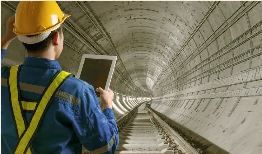
- Conducting tunnel inspections for mining, metro, or utility projects
Laser-based surveying distance measurement equipment provides the speed and precision needed for these tasks—even under poor lighting or irregular terrain.
 Laser Ranging
 Laser Level Sensors
 Laser Ranging in Environmental Monitoring
 Precision measurement solutions
3. Pairing Laser Measurement with GPS and Total Stations
Surveyors often combine laser distance sensors with GPS and total stations to build efficient workflows. This hybrid setup helps them:
- Capture both spatial coordinates and physical distances
- Cross-verify measurements in real-time
- Reduce human error and improve project timelines
Using this integrated approach, professionals handle complex distance measurement surveying tasks with greater reliability.
4. Ensuring Accuracy in the Field
To get the most from distance measurement surveying, field teams follow key best practices:
- Calibrate laser devices before each session
- Avoid targeting reflective or transparent surfaces
- Account for weather conditions like humidity and fog, which can affect measurements
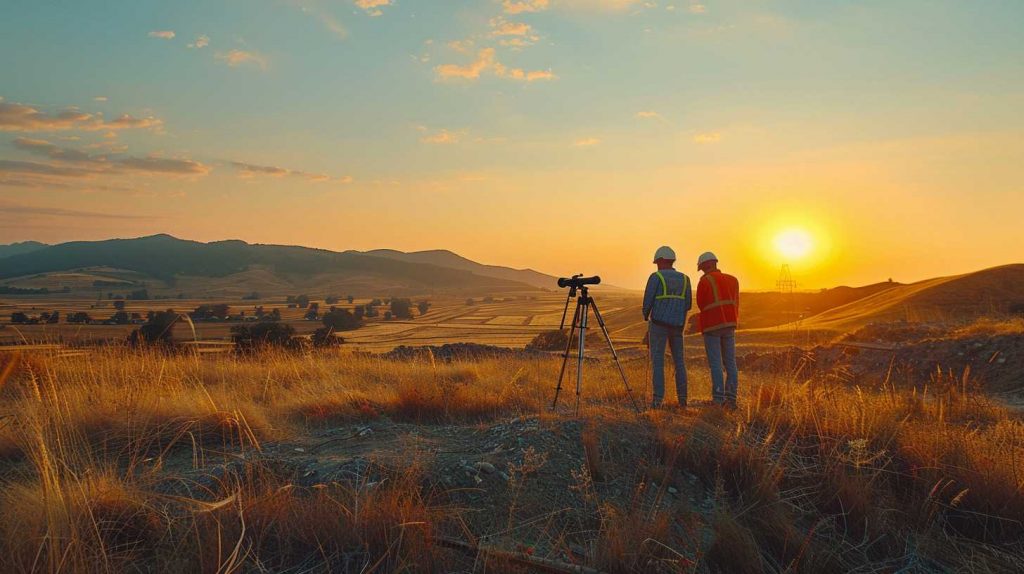
5. Best Equipment for Different Terrains
| Terrain Type | Recommended Equipment | Notes |
|---|
| Urban / Flat Land | Mid-range laser sensor + GPS module | Ideal for clear lines of sight |
| Forest / Mountain | Long-range laser sensor with total station | Handles elevation and obstructions |
| Underground / Tunnel | 1535nm eye-safe laser sensor + reflectors | Performs well in dark, enclosed spaces |
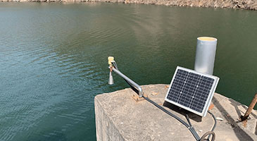
| Wetlands / Coastal | Waterproof laser + drone platform | Great for remote or swampy areas |
Choosing the right laser distance sensor for topography ensures accurate results and smooth operations across all environments.
6. Why Laser Distance Measurement Surveying Outperforms Traditional Methods
Modern distance measurement surveying offers more than just speed. Here’s why professionals continue to adopt laser-based solutions:
- Precision: Consistently delivers millimeter-level accuracy
- Safety: Allows measurements from a distance, avoiding hazardous zones
- Efficiency: Completes measurements in seconds, not hours
Surveyors can also integrate these systems into CAD, GIS, or BIM workflows, making data transfer seamless.
Conclusion
Laser distance measurement surveying has become a critical tool for modern infrastructure, land development, and engineering. With fast, reliable, and safe performance, laser systems help surveyors work smarter and deliver more accurate results.
Whether you’re mapping farmland, managing a construction site, or navigating a tunnel, advanced surveying distance measurement equipment ensures you meet your goals with precision. For rugged terrain or high-stakes projects, always choose a laser distance sensor for topography that fits your unique site conditions.