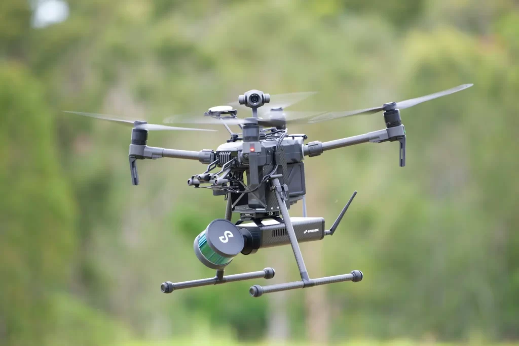
Maintaining stable flight and executing smooth landings are two of the most critical challenges in drone applications. A laser distance sensor for drones provides the accuracy and reliability needed to achieve these tasks. Unlike barometric sensors or GPS, laser-based systems measure altitude with millimeter precision, ensuring drones can hover steadily and land exactly where they need to.
In this article, we’ll explore how a laser distance sensor for drones improves altitude hold and precision landing, and how you can integrate one with popular platforms like ESP32 and Raspberry Pi.
Why Use a Laser Distance Sensor for Drones?
A laser distance sensor for drones works by emitting a laser beam toward the ground and measuring the time it takes to reflect back (Time-of-Flight principle). This method delivers:
- High accuracy: Precise measurements even at low altitudes.
- Fast response: Real-time data for stable hovering.
- Environmental adaptability: Works over varied terrains (grass, concrete, water).
- Improved safety: Reduces crash risk during landing.
Compared to ultrasonic or GPS-based solutions, laser distance sensors give drones a measurable edge in performance and safety.
Application 1: Altitude Hold
When hovering, drones must maintain a constant altitude to keep camera shots steady or avoid ground collisions. A laser distance sensor for drones provides continuous feedback, allowing the flight controller to adjust motor thrust in real time.
- Photography & videography → Stable shots without drift.
- Surveying & mapping → Consistent height improves data accuracy.
- Indoor navigation → Reliable where GPS is unavailable.
Application 2: Precision Landing
Landing is often the most delicate maneuver for drones. A laser distance sensor for drones ensures smooth descent by continuously reporting height above ground.
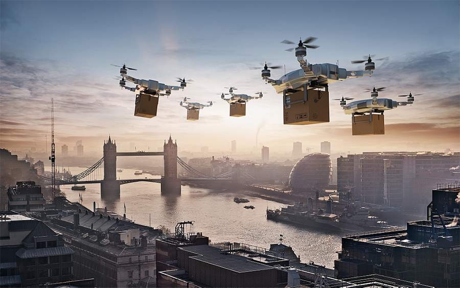
- Delivery drones → Drop payloads at the exact location.
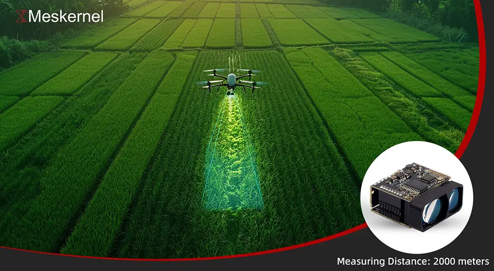
- Agricultural drones → Return to charging pads safely.
- Autonomous UAVs → Execute repeatable, reliable landings.

Integration with ESP32 & Raspberry Pi
Developers can easily connect a laser distance sensor for drones to popular controllers like ESP32 and Raspberry Pi:
- ESP32 → Ideal for lightweight drones, supports fast data acquisition and wireless communication.
- Raspberry Pi → Suitable for advanced processing, AI-based obstacle avoidance, and integration with ROS (Robot Operating System).
Typical setup involves:
- Connecting the sensor via UART/I²C.
- Running open-source libraries or SDKs.
- Calibrating for drone-specific flight heights.
- Testing in both indoor and outdoor environments.
Choosing the Right Laser Distance Sensor for Drones
When selecting a laser distance sensor for drones, consider:
- Range → Does it meet your altitude requirements (e.g., 0.1–2000 m)?
- Accuracy → Sub-centimeter precision vs. general purpose.
- Weight → Lighter modules reduce battery load.
- Environmental resistance → IP-rated sensors for outdoor use.
- Interface → UART, I²C, or CAN depending on flight controller.
100m Non-Contact Laser Sensor for UAV Altitude Hold & Obstacle Avoidance
FAQs on Laser Distance Sensors for Drones
Q1. What is the best laser distance sensor for drones used in altitude hold?
A: Sensors with fast response times and sub-centimeter accuracy, such as ToF-based laser modules, are ideal for altitude hold. They provide stable feedback even during rapid movements.
Q2. Can a laser distance sensor for drones work in low-light or dark conditions?
A: Yes. Unlike optical flow sensors that depend on visible light, laser distance sensors work effectively in low-light or even complete darkness.
Q3. How do laser distance sensors compare to ultrasonic sensors in drones?
A: Ultrasonic sensors are cheaper but struggle with accuracy on soft surfaces (like grass). Laser distance sensors for drones deliver much more reliable readings over different terrains.
Q4. What’s the maximum range of a typical laser distance sensor for drones?
A: Ranges vary by model. Compact modules often cover 5–10 meters, while industrial-grade drone laser sensors can measure up to 5000 meters.
Q5. Can I integrate a laser distance sensor with Ardupilot or PX4?
A: Yes. Most laser distance sensors for drones are compatible with open-source autopilot systems like Ardupilot and PX4 via I²C or UART, making them widely adaptable.
A laser distance sensor for drones is an essential component for achieving stable altitude hold and precise landings. Whether you’re working on aerial photography, autonomous delivery, or agricultural applications, the integration of these sensors with platforms like ESP32 and Raspberry Pi makes advanced drone control more accessible than ever.
By selecting the right sensor and properly configuring your system, you can unlock smoother flights, safer landings, and higher mission success rates.
https://meskernel.net/laser-position-sensor/