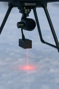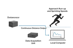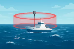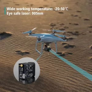
Distance Detector Sensor for Height Profiling, Fixed-Point Measurement, and Long-Range UAV Applications
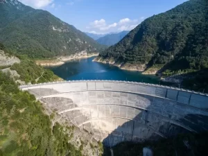
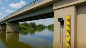
Get millimeter-accurate height and distance data with a professional distance detector sensor. Perfect for UAV mapping, bridge inspection, and long-range laser measurement in demanding outdoor environments.