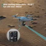
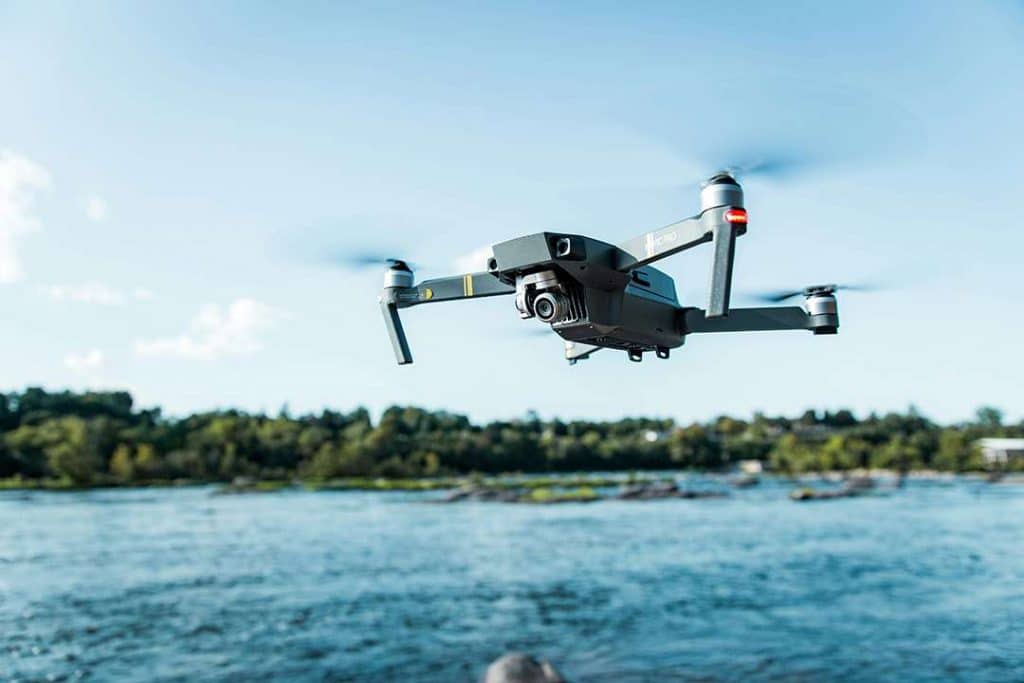
Unmanned Aerial Vehicles (UAV), commonly known as drones, are rapidly transforming industries such as arpentage, mapping, la logistique, and security. At the heart of these applications lies one essential component: the capteur de distance for UAV. From distance sensors for uav used in évitement des obstacles to high-precision distance laser sensors for UAV designed for long-range LiDAR mapping, choosing the right sensor is critical for accuracy, efficiency, and safety.
This article explores the different types de capteurs de distance for UAV , their working principles, and real-world applications, helping you select the right sensor for your needs.
How Do Distance Sensors for UAV Work?
Distance sensors operate by emitting signals (such as laser light or ultrasound) and measuring the time it takes for the signal to return after hitting an object—also known as the time of flight (ToF) principle. UAV-compatible sensors often rely on:
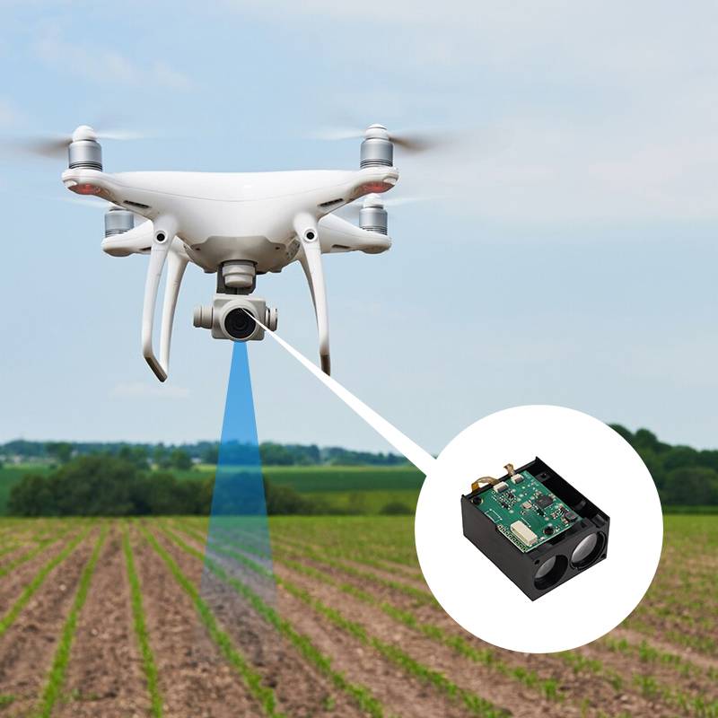
LiDAR sensors: Use laser beams to create accurate 3D models of environments.
Capteurs ToF: Measure the distance by calculating how long it takes for light pulses to reflect back.
Télémètres laser: Provide precise long-range measurements, ideal for mapping and surveying tasks.
These technologies allow drones to detect obstacles, measure the distance to surfaces, and operate autonomously in real time.
Real-Time Distance Sensor for UAV
One of the biggest challenges for UAVs is safe navigation in complex environments. Real-time distance sensors for uav enables precise obstacle avoidance, ensuring drones can fly autonomously without crashing into walls, trees, or other structures.
Modern UAVs integrate these sensors into onboard flight control systems, providing critical data for real-time decision-making. This makes them invaluable for applications in industrial inspection, warehouse automation, agriculture, and delivery systems.
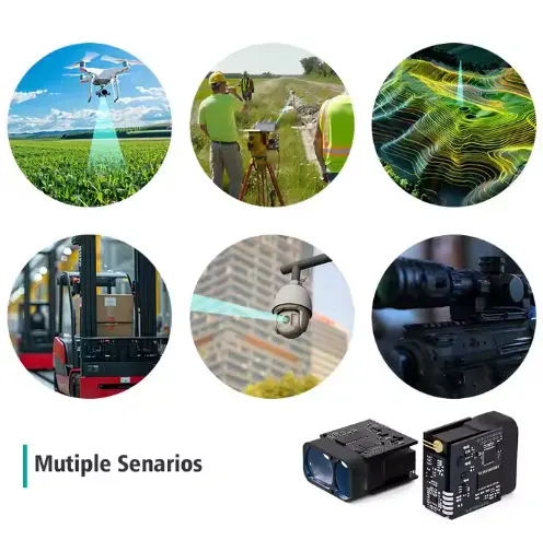
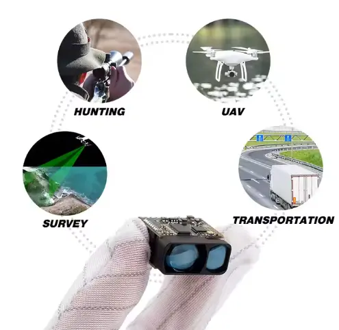
Applications of Distance Sensors for UAV
- Obstacle Avoidance – Essential for drones operating in urban areas, warehouses, or forests.
- Topography & Mapping – LiDAR-equipped drones create accurate terrain models for surveying and construction.
- Long-Range Measurement – Distance Sensors for UAV provides precision at distances up to hundreds of meters.
- 3D Modeling – Distance sensors generate data to build realistic 3D models of environments.
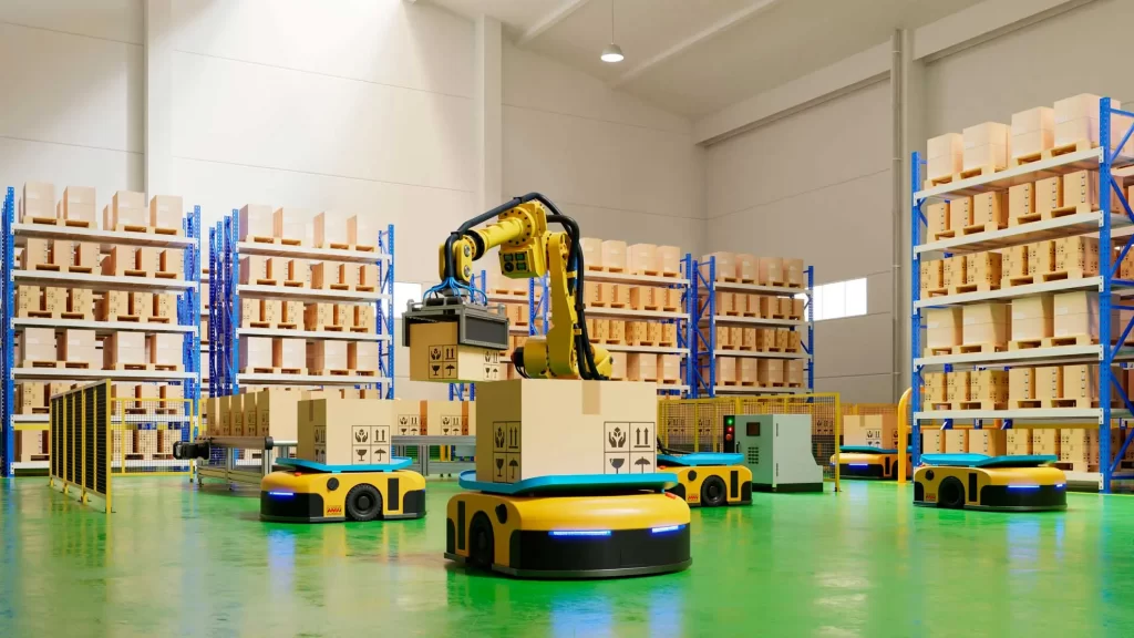
- Automatisation industrielle – UAVs with sensors help monitor infrastructure such as power lines, bridges, and pipelines.
Key Benefits of Using Distance Sensors for UAV
- Haute précision en mesure de la distance.
- Enhanced safety through real-time obstacle détection.
- Improved mapping quality with LiDAR and télémètre laser technologie.
- Efficiency in data collection, reducing manual surveying costs.
- Scalability, as sensors adapt to drones of different sizes and purposes.
Foire aux questions (FAQ)
-
Which is the best sensor for obstacle-avoidance drones?
The best option is a real-time ToF or LiDAR sensor, as they provide accurate short- to mid-range data essential for avoiding obstacles.
-
Which are the best drones for topography and LiDAR imaging?
High-end UAVs such as DJI Matrice series or custom-built survey drones equipped with LiDAR scanners are widely used for mapping
-
What is LiDAR, and how do you know if a drone has it?
LiDAR (Light Detection and Ranging) uses laser beams to measure distances and create 3D terrain models. Drones with LiDAR systems usually include a laser scanner module mounted on the UAV.
-
What do I need to calculate LiDAR data from a UAV DIY project?
You’ll need a LiDAR scanner, GNSS positioning system, IMU (Inertial Measurement Unit), and processing software to convert raw data into usable 3D maps.
-
How do FPV drones transmit video data in real time?
FPV (First Person View) drones use radio frequency transmission or numérique video downlinks to send live video feeds directly to the pilot’s headset or screen.
-
What is the role of drones in surveying and mapping?
Drones equipped with LiDAR and distance sensors provide faster, safer, and more accurate data collection, reducing costs compared to traditional land surveys.
-
What determines a LiDAR sensor’s effective range?
Factors include laser power, reflectivity of the target surface, environmental conditions (fog, rain, dust), and sensor optics.
-
What is the LiDAR system?
A complete LiDAR system consists of a laser emitter, detector, GNSS, IMU, and processing unit to deliver accurate geospatial data.
Whether you are developing a distance sensors for UAV applications, integrating a distance sensor for drones into a new platform, or exploring laser télémètre for UAV solutions for mapping and surveying, these technologies are essential for the future of aerial robotics.
With the right choice of sensor, UAVs can achieve unmatched accuracy, reliability, and safety, unlocking new possibilities across industries worldwide.
https://meskernel.net/lidar/