In the world of optical sensing and misurazione della distanza, two terms are often used interchangeably — Laser and Lidar technology.
However, while both rely on the same fundamental principle of light emission and reflection, their applications, working principles, and performance goals differ significantly.
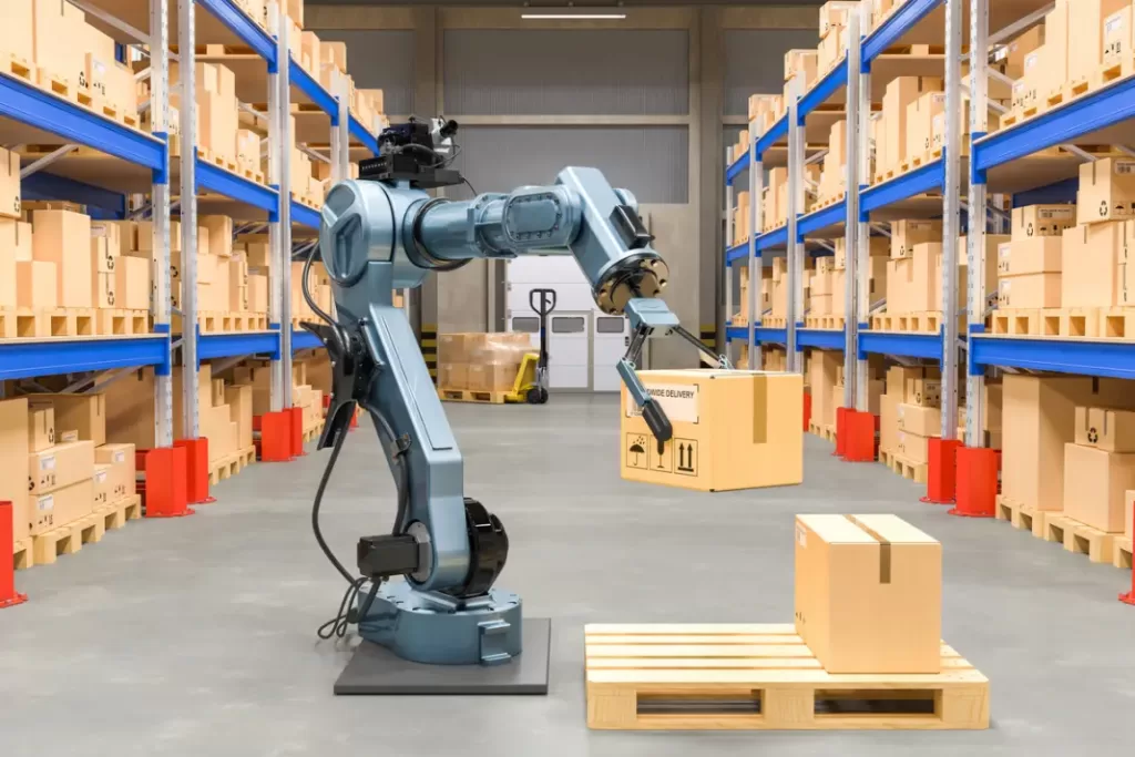
If you’re involved in robotics, industrial automation, rilevamento, or smart infrastructure, understanding this distinction can help you choose the right sensing solution.
A Meskernel, we design and manufacture high-precision distanza laser sensori e ToF modules that power both laser-based and Lidar-based measurement systems.
Che cos'è la tecnologia laser?
Laser sta per Amplificazione della luce mediante emissione stimolata di radiazioni.
Si riferisce alla generazione di un fascio di luce stretto e coerente con una specifica lunghezza d'onda - spesso infrarossi invisibili o luce rossa visibile - che può percorrere lunghe distanze senza diffondersi molto.
Lasers are the core light source behind many optical instruments, including:
In distance measurement, laser technology is typically used in point-to-point measurement systems.
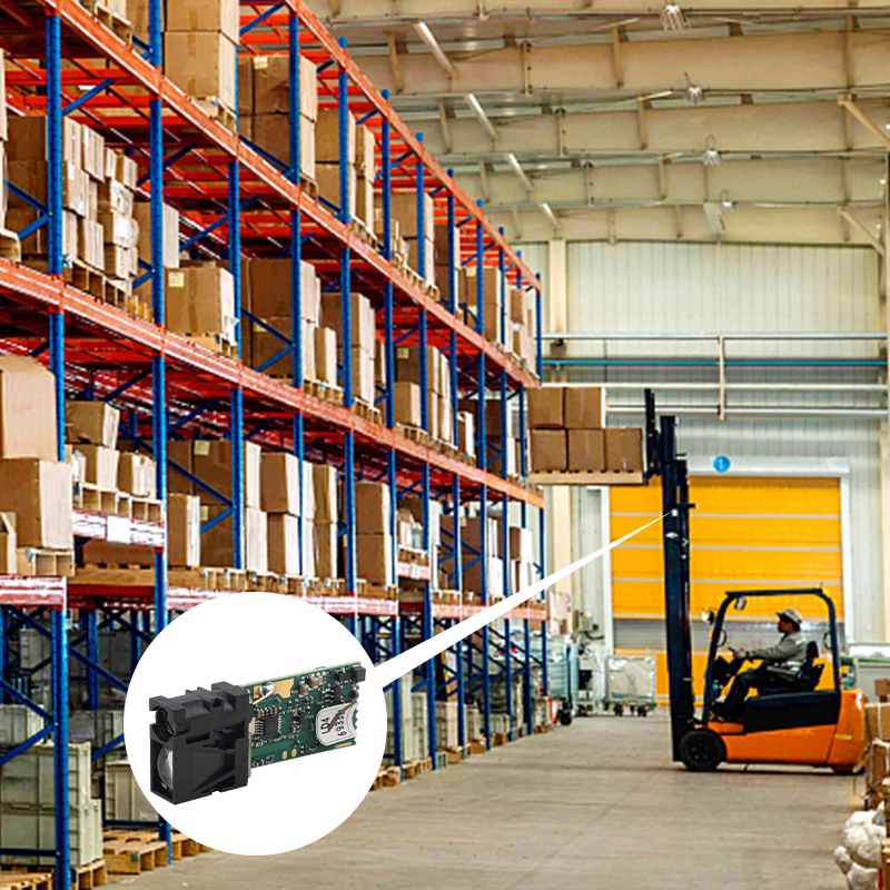
Meskernel’s industrial laser distance sensors, for example, emit a focused laser beam and calculate distance based on the tempo di volo (ToF) or spostamento di fase between emitted and received light.
👉 In short: Laser technology provides the light — the foundation — while Lidar builds on it for more complex spatial mapping.
Che cos'è la tecnologia Lidar?
Lidar (Light Rilevamento and Ranging) is a complete measurement system that uses laser beams to scan an environment and generate 3D spatial data.
Invece di misurare una singola distanza, i sistemi Lidar emettono migliaia o milioni di impulsi laser al secondo, catturando più segnali di ritorno per formare una nuvola di punti 3D dell'ambiente circostante.
Lidar technology is widely used in:
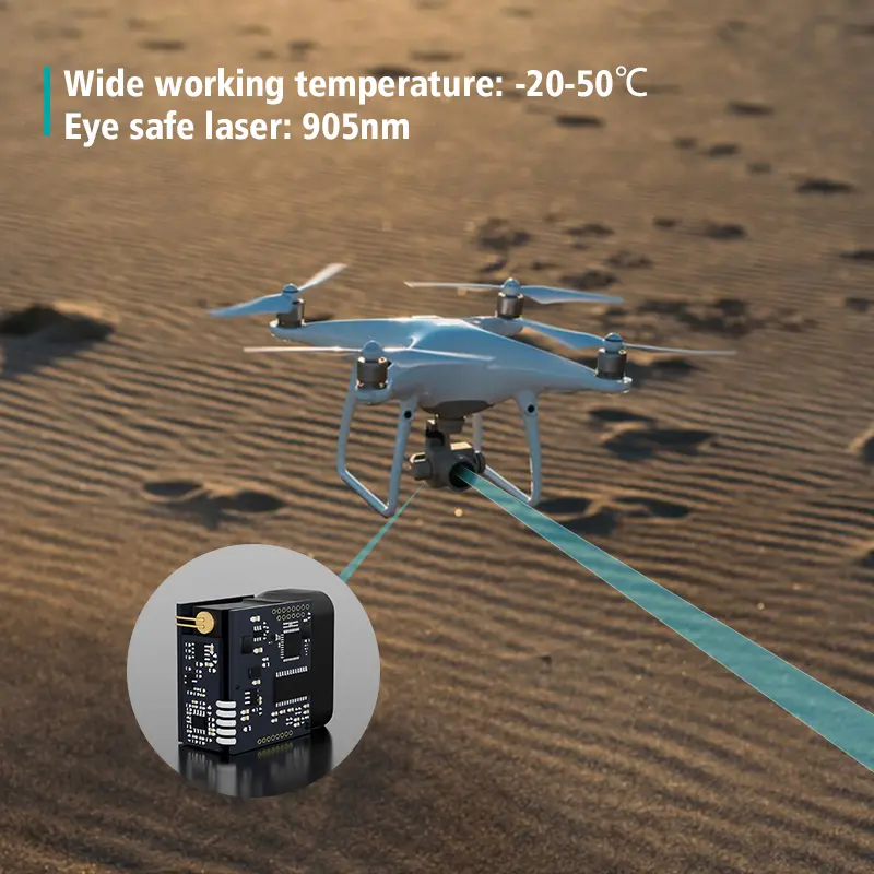
- Autonomous vehicles and drones (UAVs)
- Topographic and geological surveying
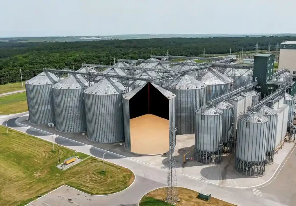
- Agriculture monitoring
- Smart city infrastructure and obstacle detection
Essentially, Lidar = Laser + Scanning + Data Processing.
It’s a mapping and perception technology, not just a laser beam measurement.
⚙️ The Key Difference: Laser vs. Lidar Technology
| Caratteristica | Laser Technology | Tecnologia lidar |
|---|
| Definition | A light-emission technology that produces coherent beams | A full system using lasers to measure and map environments |
| Tipo di misura | Single-point or linear distance | Multi-point 3D mapping |
| Uscita dati | Distance or displacement value | 3D spatial data (point cloud) |
| Complessità | Simple hardware, minimal processing | Advanced system with sensors, mirrors, and software |
| Applicazioni | Industrial distance sensing, thickness, level detection | Autonomous navigation, terrain modeling, environmental mapping |
| Example Product | Meskernel LDJ Series Laser Sensore ToF | Lidar modules using Meskernel’s sensori laser as emitters |
⚡ Working Principle
🔹 Laser Distance Measurement (ToF Principle)
Laser distance sensors work based on the Time-of-Flight (ToF) principle — the time it takes for a laser pulse to travel to a target and return.
Formula:
Distanza = (velocità della luce × tempo di volo) / 2
Meskernel Analogico Output Laser Sensori ToF can detect distances up to 200 meters with millimeter-level accuracy, making them ideal for industrial automation, conveyor systems, or monitoraggio del livello del serbatoio.
🔹 Lidar Scanning (Multi-beam & Rotating Systems)
Lidar takes the same ToF concept but scales it — by rotating the emitter or using multiple beams to scan in 360°.
Each reflected point is processed to build a 3D representation of the environment, used in autonomous vehicles, drones, and surveying systems.
💡 Which One Should You Choose?
If your application requires:
- Single-point distance or position measurement
- Compact, fast-response sensing
- Integration into industrial machinery or AGV sistemi
👉 Choose Laser Distance Sensors, such as Meskernel LDJ or TS1224 series.
If your project involves:
- Environmental mapping
- Object detection and navigation
- 3D modeling
👉 Choose Lidar systems, many of which rely on laser modules as their core ranging element — often the same type that Meskernel provides.
🔧 How Meskernel Fits In
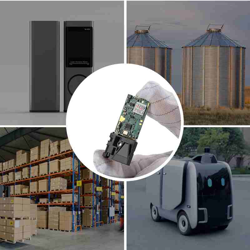
Meskernel’s Laser Sensore di distanza Modules are widely used as the core ranging components in both:
- Industrial measurement systems, e
- Lidar assemblies used in UAVs, mobile robots, and smart infrastructure.
Our products deliver:
- Misura a lungo raggio up to 3000 m
- High accuracy (±3 mm)
- IP67 protection for outdoor or industrial use
- Analog, RS485, UART, or CAN interfaces for flexible integration
Whether you’re building a Lidar perception system or an industrial precision sensor, Meskernel provides the laser core technology you can rely on.
Conclusione
While Laser Technology provides the light, Lidar Technology turns that light into environmental intelligence.
Both share the same physical principles, but their scope and applications differ drastically.
At Meskernel, we bridge this gap — offering laser distance sensors and ToF modules that form the heart of advanced measurement and Lidar systems worldwide.
Esplora il nostro sensori di distanza laser → Visit Meskernel.net Products Page
FAQs
D1: Qual è la differenza tra la tecnologia laser e quella lidar?
La tecnologia laser emette un singolo fascio di luce per misurare i punti, mentre il Lidar combina più fasci laser con la scansione per mappare interi ambienti in 3D.
D2: Il Lidar si basa sulla tecnologia laser?
Sì. I sistemi Lidar utilizzano impulsi laser come sorgente luminosa e calcolano la distanza secondo il principio del tempo di volo (ToF).
Q3: Which is better, Lidar or Laser?
Neither is strictly “better” — laser sensors excel at precision single-point measurement, while Lidar is designed for spatial awareness and mapping.
Q4: What are typical applications of laser distance sensors?
Laser sensors are widely used in industrial automation, level measurement, conveyor control, and position feedback systems.
Q5: What is LiDAR technology used for?
LiDAR technology is widely used in:
Autonomous vehicles and AGVs for navigation and obstacle detection.
Topographic mapping and surveying for terrain and 3D modeling.
Forestry and agriculture to measure vegetation height and biomass.
Automazione industriale for distance control, positioning, and surface measurement.
Smart cities and security systems for environmental monitoring and safety detection.
Q6:How does LiDAR technology work?
LiDAR systems emit rapid laser pulses toward a surface. The sensor measures the time of flight (ToF)—the time it takes for the light to travel to the target and back. This data is processed to calculate distance and generate 3D models or point clouds.
Q7:What is the range and accuracy of modern Lidar Technology?
The performance of Lidar Technology depends on the laser source and detector quality. With high-end laser modules like Meskernel’s long-range ToF sensors, systems can measure up to 3000 meters with ±3 mm accuracy, suitable for both industrial automation and outdoor scanning.
Q8:What is the difference between radar, laser, and LiDAR?
Radar uses radio waves, making it effective in fog, rain, or dust but with lower precision.
Sensori laser use visible or infrared light for accurate short-range distance measurement.
LiDAR combines laser emission and scanning to map surroundings in 3D with millimeter-level accuracy.
LiDAR technology offers higher spatial resolution, while radar excels in penetration and long-range detection.
Q9:What is the difference between Time of Flight (ToF) sensors and LiDAR?
A ToF sensor measures distance using one laser beam to calculate the time light takes to return.
LiDAR, however, uses multiple ToF measurements across an array or rotating mirror to scan and reconstruct an entire 3D environment.
In short, LiDAR = ToF + scanning + data processing.
Q10:Why is LiDAR technology important in automation and robotics?
In AGVs, drones, and industrial robots, LiDAR technology enables real-time object detection, navigation, and mapping.
For instance, Meskernel’s industrial laser distance sensors provide precise feedback for position control, collision avoidance, and surface measurement, ensuring accuracy even in complex environments.
https://meskernel.net/sensors-for-measuring-distance/