3D 매핑 및 지형 분석을 위한 라이다 드론: 건설, 재난 대응 등을 위한 정밀 레이저 측량
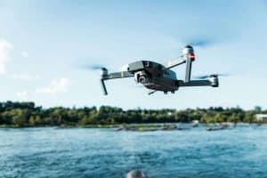
Explore drone-based LiDAR technology for accurate topographic surveys, real-time terrain monitoring, and cost-effective data collection across construction, forestry, and urban planning.
Explore drone-based LiDAR technology for accurate topographic surveys, real-time terrain monitoring, and cost-effective data collection across construction, forestry, and urban planning.